
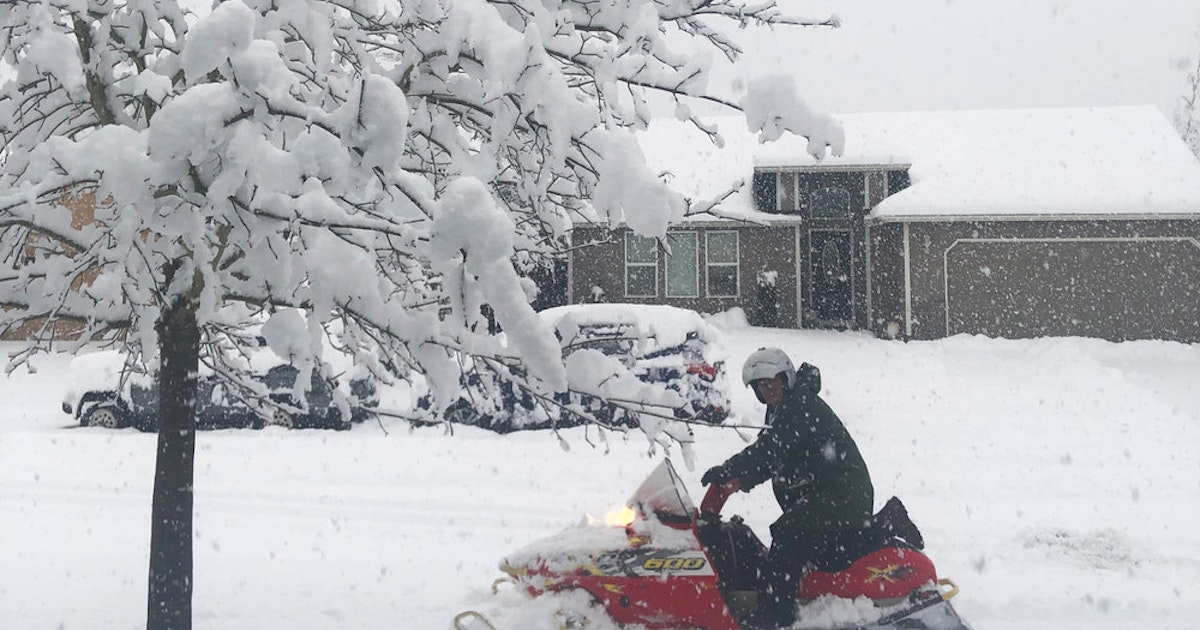
 FRED RATHKE OF CRESWELL, TAKES HIS SNOWMOBILE OUT FOR A SPIN ON SANDALWOOD LOOP ON FEB. 25. Community submission/Ashely Fitzgerald
Storm helps state recover on snow, streamflows
The shortest month of the year delivered record-breaking snowfall across the state, dramatically improving Oregon’s summer water supply outlook.
The March Water Supply Outlook Report released by the USDA Natural Resources Conservation Service shows every long-term snow monitoring site in the state received above average February precipitation, and many sites received well over 200 percent of the normal amount for the month.
”Unseasonably cold temperatures and ample moisture in February were welcome signs of improvement for Oregon’s water supply and drought situations,” said Scott Oviatt, Snow Survey supervisory hydrologist. ”This report serves as a good reminder that forecasts should be used as guidance, not gospel, as conditions can and do change rapidly.”
As of March 1, snowpack and streamflow forecasts lean towards an adequate water supply for many areas of the state, but the next few weeks and months will ultimately determine the water supply picture for spring and summer.
One for the record books
The early season snowpack deficit was replenished by the perfect combination of weather systems. Seven of Oregon’s long-term snow monitoring sites (with over 35 years of measurement) broke their records for highest March 1 snowpack.
The March 1 report said The Hood, Sandy, and Lower Deschutes basins around Mount Hood were collectively 92 percent of normal snowpack. All other basins in the state were above normal. Snowpack in the John Day, Lake County, and Goose Lake basins were at 149 percent of normal — the highest in the state.
Not out of the woods yet
While a wet month improved conditions greatly, it did not entirely eradicate drought concerns. According to the drought monitor, extreme drought status has been dropped across the state, but over 60 percent of the state remains in moderate to severe drought.
Despite deficit-relieving snow, water supply remains something to monitor. If the next few months stay cool and stormy, streams will experience normal seasonal flow and drought will continue to decrease. If there are sustained warm periods and long stretches of dry weather, the water supply forecasts will likely decrease.
From snow to flow
Because of abundant mountain snowpack on March 1, spring and summer streamflow is expected to be near normal to well-above normal in most parts of the state. The highest streamflow forecasts are in eastern Oregon, where snow-laden storms have been more consistent this season. Umatilla, Walla Walla, and Willow basins are forecast to flow at 140 percent of normal during the April-September period.
There are a few areas where the forecasts remain below normal. Streamflow in parts of the Deschutes River basin as well as the Mount Hood region are around 80-95 percent of normal as of March 1.
Reservoir storage varies widely across the state. In general, most reservoirs are storing below-average to near-average amounts of water for this time of year. Given the recent snow at all elevations, reservoir managers are actively balancing many factors, including streamflows, flood control, and water supply needs.
Current snowpack levels mean most reservoirs will receive significant inflows in the coming months as snowpack melts.